
Union County ZIP Coverage
Union County ZIP codes are delivery areas. The county research inventory below pairs each code with its common postal city, area, or section label. It is deliberately not a legal-boundary chart. One municipality can use several postal areas, and a postal label can reach beyond a municipal line. The research specifically calls for address-level verification against the current official USPS ZIP Code Lookup before treating any row as a confirmed city result. The Union County map hub is useful for county and municipal geography, but it does not claim to publish postal ZIP boundaries.
| ZIP | Areas covered | Post office / label | Notes |
|---|---|---|---|
| 07016 | Cranford delivery area | Postal label: Cranford | Verify address-level municipality. |
| 07023 | Fanwood area | Postal label: Fanwood | Working research coverage. |
| 07027 | Garwood area | Postal label: Garwood | Working research coverage. |
| 07033 | Kenilworth area | Postal label: Kenilworth | Working research coverage. |
| 07036 | Linden area | Postal label: Linden | Working research coverage. |
| 07060 | Plainfield | Postal label: Plainfield | Does not necessarily equal the full municipal boundary. |
| 07062 | Plainfield | Postal label: Plainfield | Working research coverage. |
| 07063 | Plainfield | Postal label: Plainfield | Working research coverage. |
| 07065 | Rahway area | Postal label: Rahway | Working research coverage. |
| 07066 | Clark area | Postal label: Clark | Working research coverage. |
| 07076 | Scotch Plains area | Postal label: Scotch Plains | Working research coverage. |
| 07081 | Springfield area | Postal label: Springfield | Working research coverage. |
| 07083 | Union area | Postal label: Union | Verify legal municipality and street. |
| 07088 | Vauxhall / Union | Postal label: Vauxhall | Section label, not a separate municipality. |
| 07090 | Westfield area | Postal label: Westfield | Working research coverage. |
| 07092 | Mountainside area | Postal label: Mountainside | Working research coverage. |
| 07201 | Elizabeth area | Postal label: Elizabeth | Verify full delivery address. |
| 07202 | Elizabeth area | Postal label: Elizabeth | Verify full delivery address. |
| 07203 | Roselle area | Postal label: Roselle | Working research coverage. |
| 07204 | Roselle Park area | Postal label: Roselle Park | Working research coverage. |
| 07205 | Hillside area | Postal label: Hillside | Working research coverage. |
| 07206 | Elizabethport / Elizabeth | Postal label: Elizabethport | Verify exact street. |
| 07208 | Elizabeth area | Postal label: Elizabeth | Working research coverage. |
| 07901 | Summit area | Postal label: Summit | County-edge address questions need verification. |
| 07922 | Berkeley Heights area | Postal label: Berkeley Heights | Working research coverage. |
| 07974 | New Providence area | Postal label: New Providence | Working research coverage. |
“Postal label” is used here because the source material records common city or area labels, not a confirmed operating post-office name for every row. A row is a research starting point, not USPS confirmation or proof that the ZIP lies exclusively in Union County.
Union County ZIP Verification
A ZIP verification workflow separates delivery geography from the record systems used for an address. Begin with the complete street address in the current USPS tool. Next, check the legal municipality on county or municipal maps. Use the address, municipality, and block-and-lot in a parcel source, then use the owner or parcel information only where a tax or deed question requires it. A ZIP alone is not a documented search key for all Union County residents, deeds, or parcel records.
- Enter the complete delivery address in the current official USPS ZIP Code Lookup and retain the returned city and ZIP result with the date checked.
- Compare that delivery result with the Union County maps and a municipal street map to identify the legal municipality.
- Search New Jersey Property Explorer by its documented address, county, municipality, block, or lot fields.
- Use the parcel's block and lot, not the ZIP alone, to organize any County Clerk title research or municipal assessor question.
- For an old road name or a missing official map, ask the municipal clerk, engineering, or public-works office; use OPRA for a specific missing public map or notice.
After a ZIP has narrowed the geography, the street-by-street record trail belongs in the Union County streets directory. That route distinguishes a parcel's situs, a mailing address, a recorded party, and a dated directory entry.
Note: Store the USPS result date because a familiar postal label can be less precise than an address-level delivery match.
Union County ZIP Search Fields
The official state Property Explorer is the parcel search documented for Union County, but its static description does not list ZIP as a primary field. It searches statewide by address, county, municipality, block, and lot. The county Board of Taxation page links property search and municipal assessor routes, but the current Union-specific dynamic field list was not exposed in research. No assessor ZIP filter should be assumed from either source.
| Documented portal field | Purpose | ZIP status |
|---|---|---|
| Address | Find a statewide parcel by street address | ZIP is not documented as the primary mode |
| County | Limit the parcel inquiry to Union County | County filter, not ZIP filtering |
| Municipality | Set the legal municipal context | Municipality is distinct from a postal city |
| Block | Find a known tax-map identifier | Not a ZIP field |
| Lot | Complete a parcel reference with block | Not a ZIP field |
| Map interaction | Inspect displayed parcel context | Live controls and ZIP mode were not captured |
NJGIN parcel data also documents county, municipality, block, and lot context rather than a ZIP filter. The state voter registration form collects ZIP as part of a home address, but the live public Voter Search fields were not captured. Those facts rule out claiming a documented official ZIP-wide people search.
Union County ZIP Limits
ZIP code boundaries and city limits do different work. Postal geography helps delivery. Municipal boundaries identify the local government and many records custodians. Parcel data defines a tax or property reference. Census, school, county, and road geography add further layers. An Elizabeth postal ZIP can include a section label used in a directory. A western-edge label can raise county-border questions. Use each layer for the question it actually answers.
- ZIP
- A USPS delivery area used to route mail. It is not a legal municipal boundary.
- ZIP+4
- An added delivery detail for a more specific address segment. It does not change the legal municipality.
- PO-box ZIP
- A ZIP associated with post-office box delivery. The research does not identify a Union County row as PO-box-only, so none is labeled that way here.
- Carrier route
- A mail-delivery grouping. It is different from a parcel, municipal line, or a resident list.
Elizabeth ZIP Areas
Elizabeth appears in several entries in the Union County ZIP inventory: 07201, 07202, 07206, and 07208. The 07206 row is associated with the Elizabethport postal-area label, while the other entries use Elizabeth. That pattern is exactly why a code should be checked against a complete address instead of used as a broad substitute for a legal municipality. The county research cautions that an Elizabeth postal ZIP may also carry a section name used in historical directories.
For an address in any of these entries, identify the street and municipal records custodian first. Then use the parcel address, block, and lot to examine tax or title records. A directory or newspaper may preserve the postal-style label of its publication date, while an assessor record may use the municipal form. Neither variation needs to be “corrected” without a source.
Plainfield ZIP Entries
Plainfield is represented by 07060, 07062, and 07063 in the working coverage list. These are postal slices, not separate legal districts. Use the current USPS result for the delivery address and preserve the exact label shown by a dated source. Historic research may add another complication: Plainfield local-history instructions recommend normalizing street names by omitting suffixes and directional prefixes when searching blueprint-related material.
The Plainfield Local History collections are a useful fallback for directories, blueprints, maps, newspapers, and house-history context. That library route can clarify older numbering or address forms, but it does not establish a current postal boundary. For a current parcel, return to the assessor or Property Explorer source.
Vauxhall and 07088
The 07088 entry is one of Union County's clearest postal-geography cautions. Vauxhall is a historical community and postal or ZIP label associated with Union, but it is not a twenty-second county municipality. The county historic-sites material describes Vauxhall's historical society and its research collection. Search Vauxhall, Union, and the street address as separate terms, then confirm the legal municipality with county or municipal records.
This comparison is practical: a postal label can assist a library or directory search, while a parcel record controls the block-and-lot context and a municipal source identifies the local custodian. The labels complement one another without becoming interchangeable.
Union County Parcel Map Comparison
Statewide property data, County Clerk title records, and library address sources each answer a different ZIP-related question. Property Explorer and NJGIN help turn a verified address into parcel context. The Clerk index follows names, instruments, and book or page references rather than ZIP codes. Library directories and maps preserve historical wording and street evidence. Treating one result as a substitute for the others can erase the source's date, purpose, and privacy limits.
NJGIN's official parcel resource describes the statewide composite, its county-data stewardship, and the owner-name redactions that Daniel's Law can require.
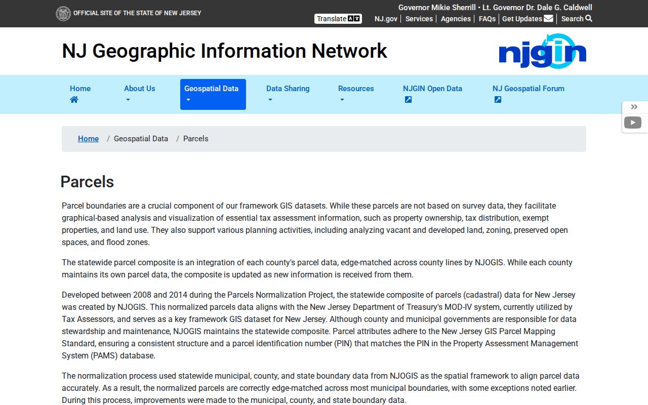
The parcel resource can support a Union County ZIP code directory check after an address is verified, but its parcel polygons are not legal boundaries or surveys and should not be drawn as ZIP lines.
Union County ZIP History
Historic address work should retain the postal or municipal form printed in its own source. Union County's record geography has changed through municipal formation, older directory editions, and varying map series. The county was created in 1857, and a pre-1857 record can sit in a parent county or earlier jurisdiction. That history matters more than forcing a historic directory entry into a current ZIP label.
Use Union Public Library or Plainfield collections for dated street and directory context, NJ State Archives for older supporting records, and municipal maps or public works for authoritative road-naming questions. A historic address may need searches under alternate spelling, a numbered-street abbreviation, or a former municipal context. No official countywide street-renumbering schedule was located, so no specific renumbering year is asserted.
Union County ZIP Access
ZIP research uses several access channels because no official portal was documented as a complete ZIP-wide resident directory. Verify the delivery address with the current USPS tool. Use the county map hub and municipal maps for civic geography. Use Property Explorer and NJGIN for parcel orientation. Use the municipal assessor for the underlying parcel record, and the Union County Clerk UCPA for recorded title after a name or instrument lead is known.
Libraries and historical societies can help with old maps, Sanborn material, directories, and local address forms. For a missing county map or notice, make a focused request under the New Jersey Open Public Records Act through the correct custodian. These channels keep postal, municipal, parcel, and historical geography separate while allowing them to be compared responsibly.