
Union County Neighbors by Block
Public records can describe parts of the block around a Union County address, but they do not create a complete roster of neighbors. The parcel map establishes a practical map view and block/lot trail. The property layer may show a current owner or taxpayer, subject to its publication date and redactions. The Clerk's instruments establish recorded title events. Voter material is a distinct, dated civic record with statutory privacy limits, while directories and newspapers are historical sources.
| Source | What It Shows About a Block | Access |
|---|---|---|
| NJ Property Explorer | Displayed parcel location or owner, block/lot, assessment values, prior-year taxes, and classification | Official statewide viewer by address, county, municipality, block, or lot |
| NJGIN parcel layer | Parcel geometry and county mapping context | Official map/data resource with redaction and survey cautions |
| Union County Clerk UCPA | Recorded grantors, grantees, instruments, and title dates | Name index online from June 1, 1977; Record Room land holdings from 1857 |
| NJ voter route | A lawful, dated civic-record layer where permitted | Status check and statutory BOE list process are different |
| Directories and newspapers | Historical households, organizations, and events on a street | Library and archive collection access varies by date |
An owner, taxpayer, and occupant are not interchangeable. The parcel's situs address is where it sits; a mailing address is where notices go and can be elsewhere. A neighboring parcel can be public land, a rail edge, or a road rather than a private household. Note: Save the record date and source for each field because the block can change through subdivision, consolidation, or later recording.
Map Union County Neighbor Parcels
Use a parcel workflow rather than a radius guess. New Jersey Property Explorer searches by address, county, municipality, block, and lot, and its result display documents location or owner where not redacted, assessed land and building values, prior-year taxes, and classification. The annual list is filed by local assessors with the county board in January, so it can lag a later deed or assessment change. Map geometry is a starting point for Union County neighbors, not a survey.
- Locate the subject address in Property Explorer and record the municipality, block, lot, assessment year, and displayed parcel information.
- Click or identify the surrounding polygons. Make a working list with direction or road, parcel ID, municipality, block/lot, source date, and whether the parcel shares a boundary or sits across a road.
- Confirm the displayed owner or taxpayer in the assessor or property layer. Keep the parcel situs and mailing address as separate fields.
- When title history matters, search each displayed name in UCPA as grantor and grantee, then record the instrument and date. Use the full Union County streets trail for a named street rather than repeating that broader work here.
Corner lots need both frontages recorded. For a river, rail corridor, county line, or large public tract, a visually close parcel may not be contiguous or have a conventional private owner. Label it as across-road or map-adjacent instead of calling it an adjacent neighbor.
Union County Parcel Map Limits
The state NJGIN parcel resource says its composite integrates county data, but parcel polygons are not legal boundaries or surveys. It also warns that adjacent counties may not edge-match. Hosted parcel and tax-list downloads, map services, and apps can redact owner names under Daniel's Law and P.L. 2020 c.125. A missing label on a map can therefore be a protection, not a data error.
| Parcel-map clue | Record check | Why the distinction matters |
|---|---|---|
| Polygon touching the subject | Block/lot and current property display | Map adjacency is not a certified boundary. |
| Displayed owner or location | Assessor data and Clerk instrument | An annual assessment display may lag a later recording. |
| Blank owner text | Custodian and lawful record route | Redaction may reflect Daniel's Law or another restriction. |
| Across-road parcel | Road and municipal map context | It is nearby, not necessarily contiguous. |
Zoom level can change the map click target. Record both street frontages for a corner parcel and use municipal or county road layers to explain a barrier. Do not derive a legal boundary or a private household list from the map display.
Union County Neighbor Title Checks
The Clerk index confirms a recorded instrument, not who lives at a parcel. UCPA is name-indexed, so use the owner or other recorded party from the parcel result as the search input. Search that party as grantor, grantee, and both. Exact, Starts with, Soundex, optional first-name modes, document-type selection, and date narrowing help separate similar names. Book/page and instrument searches validate a specific link in a title chain.
The Union County Property Fraud Alert service lets a person register names for a free recording alert.
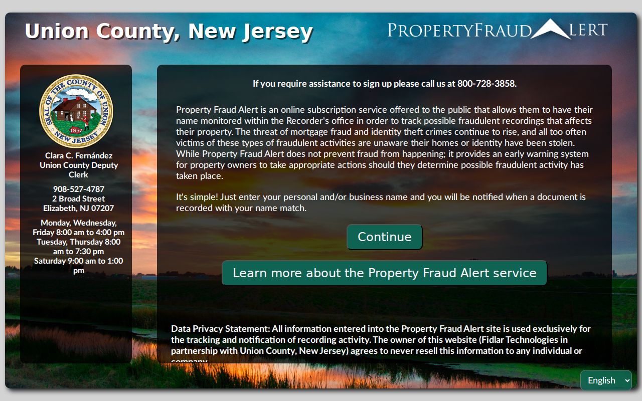
Common names can create more than one alert, and additional names or misspellings may be registered. An alert is not proof of fraud. Inspect the official Clerk instrument and contact local police when criminal activity is suspected. The Record Room remains the route for book-form pre-1977 transactions and for staff-assisted searching.
Note: The free alert prompts an official instrument review but does not establish fraud by itself.
Union County Neighbor Tool Comparison
Official records and commercial neighbor-lookup categories do not answer the same question. The official source identifies its custodian, date, field limits, and access rules. A commercial category may combine old or mismatched data from several sources without showing a reliable record date. For Union County neighbors, use the property layer to orient the block and the Clerk or other custodian to verify a record that matters.
| Official record route | Commercial neighbor-lookup category |
|---|---|
| Identifies the agency, record type, displayed fields, and access date. | May combine data of different dates and origins. |
| Shows a limited legal purpose, such as parcel assessment, title, or civic registration. | May present a broad association without proving current occupancy. |
| Provides a custodian for corrections, redaction questions, or copy requests. | Does not replace the controlling public-record custodian. |
Do not combine a map entry, old directory line, court caption, and property record into a single unqualified identity. Preserve what each record actually shows and stop when it answers the personal or historical question.
Union County Voter List Boundaries
Block-level voter visibility has real limits. N.J.S.A. 19:31-18 describes fields in the statewide voter-registration list, including name, address, date of birth, party affiliation, and voting history. Signatures are not part of the list, and protected-person addresses are omitted. The direct Voter Search is for registration status, while a public file follows a separate statutory and Board of Elections process.
An inactive status is not proof that a person moved away. State guidance links it to unresolved address confirmation, often after returned sample-ballot mail or a confirmation notice. The Union County Board of Elections handles voter-list questions at 271 North Broad Street in Elizabeth, by phone at 908-527-4123, and by email. Treat any list as a dated civic record, not a complete block census.
Vauxhall 07088 Neighbor Context
Vauxhall is a useful Union County neighbor-search quirk because it appears as a historical community and postal area, yet it is not a separate twenty-second municipality. The 07088 label is associated with Vauxhall and Union, so search Vauxhall, Union, and the street address as separate terms, then verify the legal municipality through the parcel or municipal record. A postal label and a municipal jurisdiction can point to different filing paths.
The county historic-sites material describes a Vauxhall Historical Society collection of artifacts, documents, photographs, and a research library. That makes it a local-history lead for an older block, not a current association directory. For map work, distinguish a road name, postal label, municipality, and parcel before comparing records.
Note: Vauxhall is a historical and postal search term, not a separate municipal records custodian.
Union County Community Directory Gap
No county-wide official association roster was located. The County Office of Community Engagement lists community organizations and events, but the research did not locate a complete official directory showing every neighborhood association, its boundary, contact, or public member list. It would be inaccurate to invent contact cards for individual blocks or to imply that every area has a formal association.
For a real local organization, ask the relevant municipal clerk, library, or historical society whether an association exists and whether it publishes meetings, boundaries, or a directory. Retain only public organizational contact information. The absence of a roster is itself a privacy limit, especially where a block has no public civic listing.
Note: A community organization's meeting notice may identify its public activity without identifying all households in its service area.
Union County Block History Leads
Historic context uses a different trail from the current parcel map. Pick a directory year near the oldest deed identified, search the street index, capture each printed household or business line, then compare the next available year. Union Public Library's Digifind materials, Plainfield Local History, the State Archives, and local newspapers can help place a block in time. Keep an "appears at address" column apart from a recorded-owner column.
New Providence Library's Mason Room holds rare documents, maps, photographs, and oral-history tapes. Plainfield's library advises blueprint researchers to find a past owner in city directories and search by last name with a normalized street name; not all blueprints are digitized and newer sheets may be at City Hall. If an old directory gives initials only, do not expand them without corroboration.
Union County Neighbor Privacy
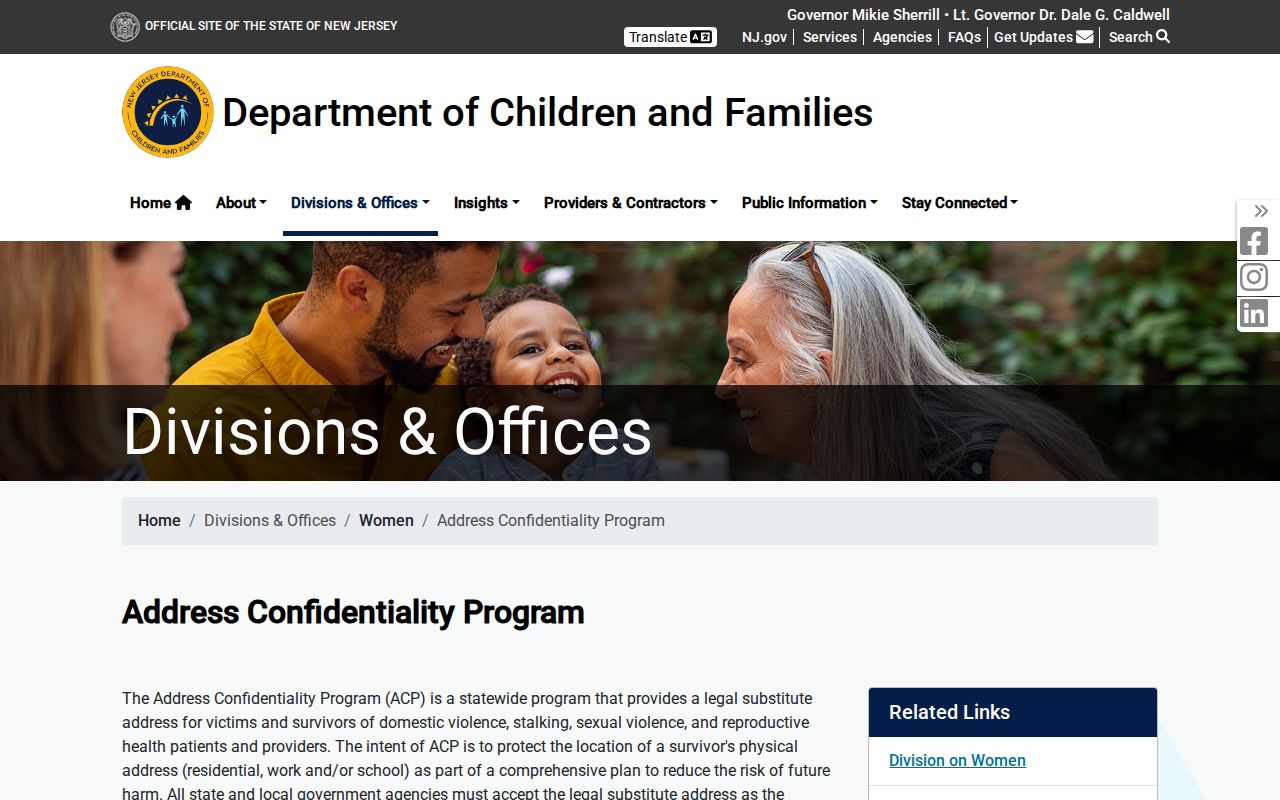
New Jersey public access is record-specific. The New Jersey Address Confidentiality Program provides a substitute legal address for qualifying survivors and protected applicants, and the physical address is confidential except for limited court or law-enforcement circumstances.
Daniel's Law can also protect covered judicial officers, law-enforcement personnel, prosecutors, DCPP investigators, and immediate household family. It can affect parcel, voter, and online-directory displays. Courts can seal or expunge records, and motor-vehicle records are controlled by the Driver's Privacy Protection Act and New Jersey rules. A blank, redaction, or restricted file should end that part of the search.
New Jersey harassment law includes N.J.S.A. 2C:33-4, and stalking is addressed in N.J.S.A. 2C:12-10. Keep a source URL, access date, and record identifier, honor redactions, and ask the custodian about a correction or lawful privacy route rather than publishing a protected location.